A magnitude 7.4 earthquake struck western Colombia at 7:34am local time on Monday 10 August 2026, and by Tuesday morning the confirmed death toll had climbed past 130. It is, according to Colombia's own Geological Service, the strongest earthquake recorded in the country this century — and the second devastating seismic event to hit the northern Andes in a matter of weeks.
The epicentre was San José del Palmar, a town of roughly 4,800 people in the department of Chocó, about 240 kilometres west of Bogotá. The quake ruptured at a depth of 107 kilometres, according to the United States Geological Survey. That depth matters, and we will return to it, because it explains both why the shaking was felt as far away as Ecuador and Panama and why the damage pattern looks so uneven from town to town.
What is already clear is the human cost. President Abelardo de la Espriella declared a national emergency to unlock recovery funding, reporting around 1,600 damaged buildings, at least 61 of them fully collapsed. Local authorities counted around 40 dead in Risaralda, where the city of Pereira sits, and 27 in Valle del Cauca, home to Cali — including three children. More than 480 people were injured nationally, and rescue crews were still working collapsed structures 24 hours after the first shock.
What happened, hour by hour
The rupture hit during the Monday morning commute — one of the worst possible windows, with schools filling, buses loading and workers already inside multi-storey buildings. Twenty-one aftershocks followed, according to the Servicio Geológico Colombiano, each one forcing rescue teams to pause and pull back from unstable structures.
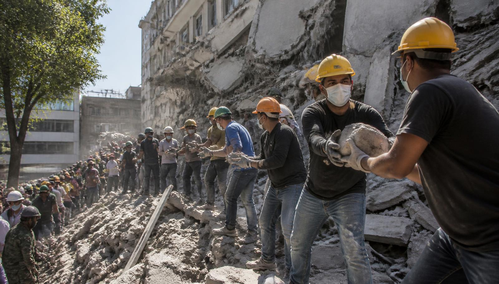
In Cali, Colombia's third-largest city and roughly 180 kilometres from the epicentre, the most striking images were of civilian bucket brigades: lines of volunteers passing concrete fragments hand to hand away from a collapsed mid-rise. "Our building has basically been left in ruins, and the building next to ours? Completely collapsed," Alvaro Lopez told the Associated Press outside one search site, holding his dog.
Damage was reported across a broad arc of western Colombia — Pereira, Manizales, Quibdó and Cali — rather than concentrated in a single flattened town. That distribution is characteristic of a deep, moderately large rupture rather than a shallow one, and it has a practical consequence: the emergency response has to be spread across half a dozen mid-sized cities at once rather than surged into one place.
Why a 107km-deep quake behaves differently
Most of the earthquakes that flatten cities are shallow — 10 to 30 kilometres down. Monday's rupture was more than three times deeper. Depth acts as a filter. Deep events radiate less of the short-period, high-frequency shaking that shatters unreinforced masonry directly above the epicentre, but they push longer-period energy much further out. That is why San José del Palmar, a small town almost directly above the rupture, has not produced the casualty numbers that Pereira and Cali have.
There is a second, less intuitive effect. Longer-period ground motion couples efficiently with taller, more flexible structures — mid-rise concrete frames of exactly the kind that fill Colombian cities built out rapidly between the 1970s and the 1990s. In practice, a deep quake can be more dangerous to an eight-storey building 150 kilometres away than to a two-storey house 20 kilometres away.
Colombia's Pacific margin sits on the Ring of Fire, the horseshoe of subduction zones and faults circling the Pacific basin where roughly 90% of the world's earthquakes occur. Here the Nazca plate slides beneath South America. Deep intraslab events — ruptures inside the descending plate rather than on the plate boundary itself — are a well-documented hazard along this margin, and they are precisely the type that produce broad, regional damage footprints. The USGS maintains public technical summaries for events like this one at earthquake.usgs.gov.
| Factor | Shallow quake (10–30km) | Deep quake (~100km+) |
|---|---|---|
| Worst damage | Concentrated near epicentre | Spread across a wide region |
| Shaking character | High-frequency, sharp | Longer-period, rolling |
| Most vulnerable buildings | Low-rise masonry near epicentre | Mid-rise frames at distance |
| Aftershock hazard | High, often shallow and damaging | Numerous but usually less destructive |
| Response challenge | One concentrated disaster zone | Multiple simultaneous zones |
The Chocó problem: where the count is least reliable
The region around the epicentre is one of the poorest in Colombia. Much of Chocó is dense rainforest reachable only by boat or light aircraft; there is no continuous road network to move heavy rescue equipment in or casualties out. Authorities have said openly that assessing the wider toll may take days because the assessment itself depends on getting people physically into places that have no runway, no bridge and, since Monday, possibly no radio.
This is the single most important caveat around every number published so far. Casualty figures from disasters in remote terrain do not rise because the situation worsens; they rise because information arrives. Expect the official toll to keep climbing for the rest of the week — not as a new catastrophe, but as the existing one becomes measurable.
The Venezuela shadow
Monday's quake landed on a region already stretched. Neighbouring Venezuela was struck by two powerful earthquakes weeks earlier, and searches there were still ongoing when Colombia's shaking began. That matters in three concrete ways.
First, the specialist resources that move between countries during a disaster — urban search-and-rescue teams with acoustic and camera equipment, structural engineers qualified to certify a damaged building safe to enter, field hospitals — are finite in the region and were already committed. Second, the regional supply chain for shelter kits, water purification and temporary roofing has already been drawn down. Third, and least discussed, the public's tolerance for repeated evacuation orders erodes. Communities that have already lived through weeks of aftershock warnings are measurably slower to leave buildings the second time.
Buildings, codes and the 61 collapses
Colombia has a modern seismic code. The NSR-10 standard, in force since 2010, sets performance requirements broadly comparable with international practice. The problem, as in most of the region, is not the code — it is the building stock that predates it and the informal construction that never engaged with it.
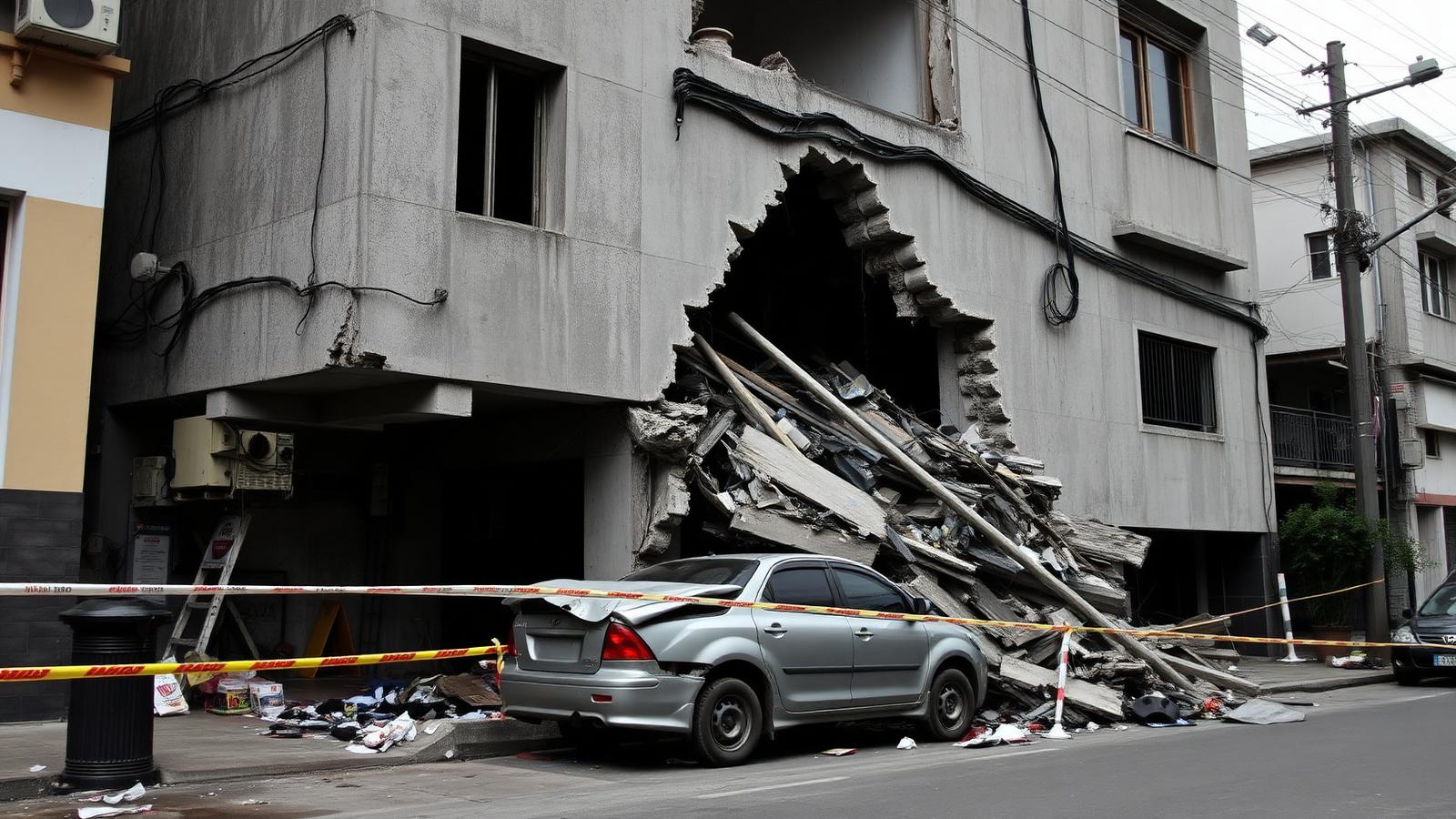
Sixty-one full collapses out of roughly 1,600 damaged buildings is a revealing ratio. A code-compliant concrete frame subjected to strong long-period motion is expected to crack, deform and become unusable while remaining standing long enough to evacuate. Full pancake collapse usually points to one of a short list of specific failures: soft-storey ground floors where retail or parking removed the shear walls, insufficient column confinement reinforcement, added storeys built on foundations designed for fewer, or non-ductile detailing typical of pre-1990s construction.
Every one of those failure modes is retrofittable. None of them is cheap. And the political economy of retrofit is brutal: the money must be spent years before the event that would justify it, in cities where the same budget could build new housing that voters can see.

The insurance and reconstruction gap
One number that will not appear in the early coverage but will dominate the next two years is insurance penetration. Earthquake cover in Colombia is concentrated among commercial property owners, mortgaged middle-class apartments in the larger cities, and public infrastructure. Across much of Chocó and the informal periphery of Pereira, Manizales and Quibdo, effective coverage is close to zero.
That gap converts a physical shock into a fiscal one. Where households cannot claim, the state becomes the insurer of last resort by default — not through a policy decision but because the alternative is visible destitution. The emergency decree President de la Espriella signed accelerates disbursement, but the money it accelerates is general revenue, not a pre-funded catastrophe reserve.
The countries that have handled repeated seismic events best have addressed this in advance rather than after. Mexico's use of catastrophe bonds and parametric insurance, which pay out on measured ground motion rather than on assessed loss, is the nearest regional precedent. Parametric instruments settle in days rather than months precisely because they do not wait for an inspection. In a disaster where inspection capacity is the binding constraint, that distinction is not a technicality — it is the difference between shelter in week one and shelter in month three.
What the aftershock sequence tells us
Twenty-one recorded aftershocks in the first day is consistent with a deep intraslab rupture, and the decay pattern over the coming fortnight matters more than the count. Aftershock sequences follow a well-characterised decay: rates fall roughly in proportion to elapsed time, which means the first day carries as many events as the following nine combined.
For residents, the practical implication is uncomfortable. The buildings most at risk during aftershocks are the ones already damaged by the main shock — the 1,500 structures standing but uninspected. A cracked concrete frame that survived a 7.4 has reduced capacity, and a magnitude 5 aftershock that would be unremarkable against intact construction can finish it. This is why inspection triage, unglamorous and slow, is genuinely the most life-saving activity in weeks two and three, long after the television crews have left.
What happens over the next fortnight
The response now moves through a predictable sequence, and knowing it helps read the news honestly.
Days one to three — live rescue. The realistic window for extracting survivors from concrete collapse is roughly 72 hours, extending further in voids and in mild temperatures. This phase is dominated by the shortage of certified structural engineers, not by shortage of willing hands.
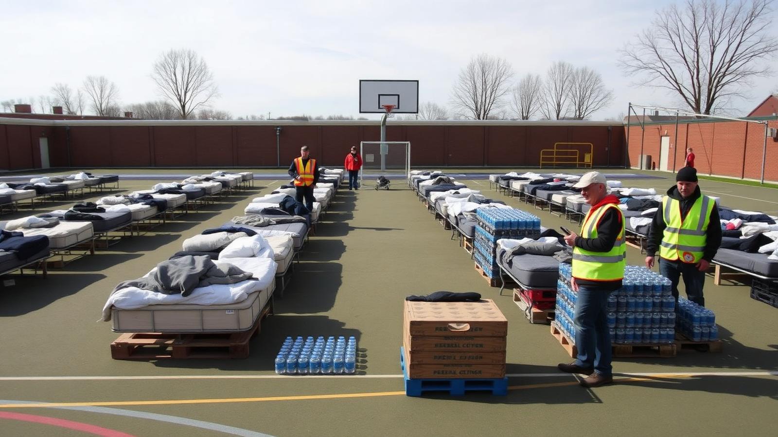
Days three to ten — shelter and water. Attention shifts to the far larger population that is uninjured but cannot go home: the occupants of the 1,500-plus damaged-but-standing buildings awaiting inspection. This is where secondary health risks concentrate — waterborne disease, interrupted chronic medication, respiratory problems from dust.
Weeks two to six — inspection and demolition. Each damaged structure must be triaged. Historically this is where recovery stalls, because inspection capacity is the binding constraint and every uninspected building means a family in a shelter.
Months — reconstruction finance. The emergency decree unlocks money quickly. Whether it is spent on rebuilding what fell or on retrofitting what did not is the decision that determines the toll of the next earthquake.
The wider pattern
Two destructive earthquake sequences in the northern Andes inside two months is not a trend in any geological sense — seismic clustering at this scale is statistically unremarkable over a plate boundary this active. But it is a stress test of a regional disaster architecture that was never designed for concurrent events, and it has failed parts of that test in public.
The lesson that transfers beyond Colombia is unglamorous. The variable that most reliably separates a 7.4 with 130 dead from a 7.4 with 13 dead is not warning time, not the quality of the rescue effort and not the size of the relief appeal. It is what was built, and how, in the forty years before the shaking started. Chile and Colombia sit on the same Ring of Fire; the difference in outcomes between them over the past two decades is almost entirely a story about enforcement of construction standards in the decades before.
Colombia will be judged over the coming months on how it answers a narrow question: whether the reconstruction money buys buildings that are better than the ones that fell, or merely newer.
Frequently asked questions
How strong was the Colombia earthquake? Magnitude 7.4, at a depth of 107 kilometres, with the epicentre at San José del Palmar in the Chocó department. The Servicio Geológico Colombiano describes it as Colombia's strongest recorded earthquake of the 21st century.
How many people have died? Confirmed deaths passed 130 by Tuesday morning, with more than 480 injured. Authorities expect the figure to change as remote areas of Chocó are reached.
Why did Cali and Pereira suffer more than the epicentre town? The rupture was deep. Deep earthquakes radiate longer-period shaking that travels further and couples strongly with mid-rise buildings, so damage spreads across a wide region rather than concentrating directly above the source.
Was there a tsunami risk? No. The rupture was inland and deep within the descending plate, not a shallow offshore thrust of the kind that displaces seawater.
Is this connected to the recent Venezuela earthquakes? Not causally. Both occur on the same broadly active plate boundary system, but they are separate events. The connection is operational: regional rescue and relief capacity was already committed.
How can readers help safely? Give cash to established relief organisations rather than shipping goods. In-kind donations frequently clog the same air and river routes that rescue equipment needs, particularly in a region as logistically constrained as Chocó.
Protunez has covered how infrastructure and geography shape disaster outcomes across recent reporting, including record ocean temperatures and mass evacuations in Asia and the strike on Russia's Nizhnekamsk refinery. Technical event data is published by the USGS earthquake programme and Colombia's Servicio Geológico Colombiano.